
©
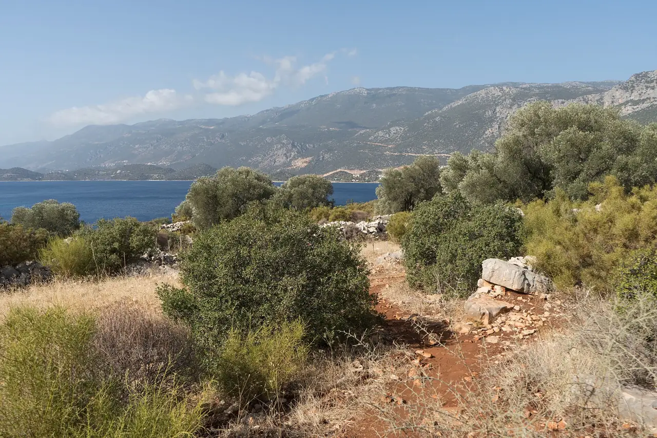
Photo: Alexkom000, CC BY 4.0, Wikimedia CommonsWalking the Lycian Way: day walks and multi-day sections
The Lycian Way is Turkey's best-known long-distance trail: roughly 500 km of waymarked paths along the coast between Fethiye and Antalya, past ancient cities, rock tombs, pine forest and quiet coves. You do not have to walk all of it. Most visitors pick a few day walks from a beach base, and many come back for a week or two to walk one section from village to village.
Good sections and bases for walkers
Each of these places has somewhere to stay, a stretch of the trail on the doorstep and a bus or taxi back. They are listed from west to east, the direction most people walk.
| Section / base | What you walk | Difficulty | Best for | Airport transfer |
|---|---|---|---|---|
| Ölüdeniz – Faralya/Kabak | The first stage, high above Ölüdeniz to the cliffs over Butterfly Valley | Moderate, long climbs | Big sea views, a first taste of the trail | DLM 1 h |
| Kayaköy – Ölüdeniz | Old path from the abandoned village over the ridge down to the lagoon | Easy to moderate, about 2 hours | Beginners, a half-day walk with history | DLM 55 min |
| Kalkan – Patara | Farm tracks and coast paths to Patara's ruins and dune beach | Moderate, little shade | Ruins and a swim at the end | DLM 1 h 45 min |
| Kaş area | Coast paths between coves, rock tombs and the ancient theatre | Easy to moderate | Short walks from a lively town | DLM 2 h 15 min |
| Üçağız – Kekova | Village path to the castle at Kaleköy (Simena) above the Kekova coast | Easy | A short walk and a boat ride back | AYT 2 h 30 min |
| Olympos – Çıralı – Adrasan | Beach, ruins and forest; evening walk up to the Chimaera flames | Easy to hard, depending on route | Beaches, ruins and an evening walk | AYT 1 h 35 min |
| Tekirova – Phaselis | Short forest paths to the ancient harbour city of Phaselis | Easy | Families and a gentle start | AYT 1 h 20 min |
Times are daytime drives in normal traffic from Dalaman Airport (DLM) or Antalya Airport (AYT) to the base; the trailhead may be a short dolmuş or taxi ride further.
The trail in brief
The Lycian Way starts in the hills above Ölüdeniz near Fethiye and ends near Geyikbayırı in the mountains west of Antalya. Depending on which variants you count it is about 500 km or a little more. It was waymarked in the late 1990s and links old mule paths, stretches of Roman road, forest tracks and village lanes, with some short sections on quiet roads.
The route is marked with red-and-white stripes painted on rocks and walls, with signposts at junctions. Marks are sometimes faded or missing, so most walkers carry a GPX track on their phone or the official guidebook with maps. The trail is rarely flat: it climbs from the coast into the hills and drops back to the sea again and again.
The best seasons are spring (March to May) and autumn (October and November). Summer is too hot for most sections, with little shade and dry springs. Winter is mild on the coast but brings rain and snow in the hills; see the Riviera in winter and the weather by month.
Best day walks
Ölüdeniz to Faralya and Kabak
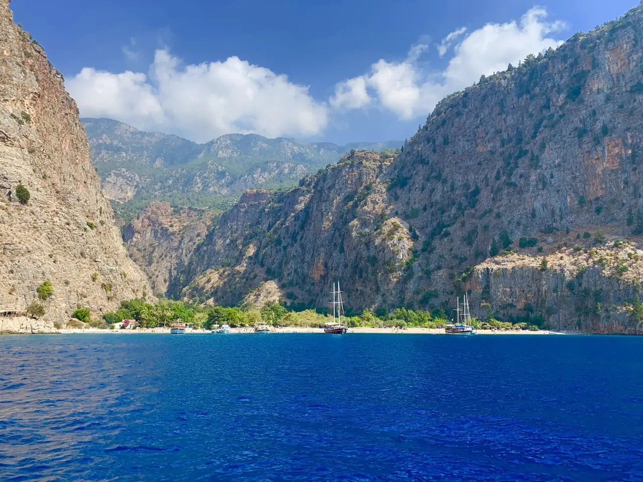
The first stage climbs from near Ovacık onto the slopes of Babadağ, with views down to the Ölüdeniz lagoon, then follows the cliffs to the village of Faralya. Viewpoints above Butterfly Valley look straight down into the gorge. The path down into the valley is very steep and partly secured with ropes; most people reach that beach by boat from Ölüdeniz. Plan most of a day and take a bus or taxi back.
Kayaköy to Ölüdeniz
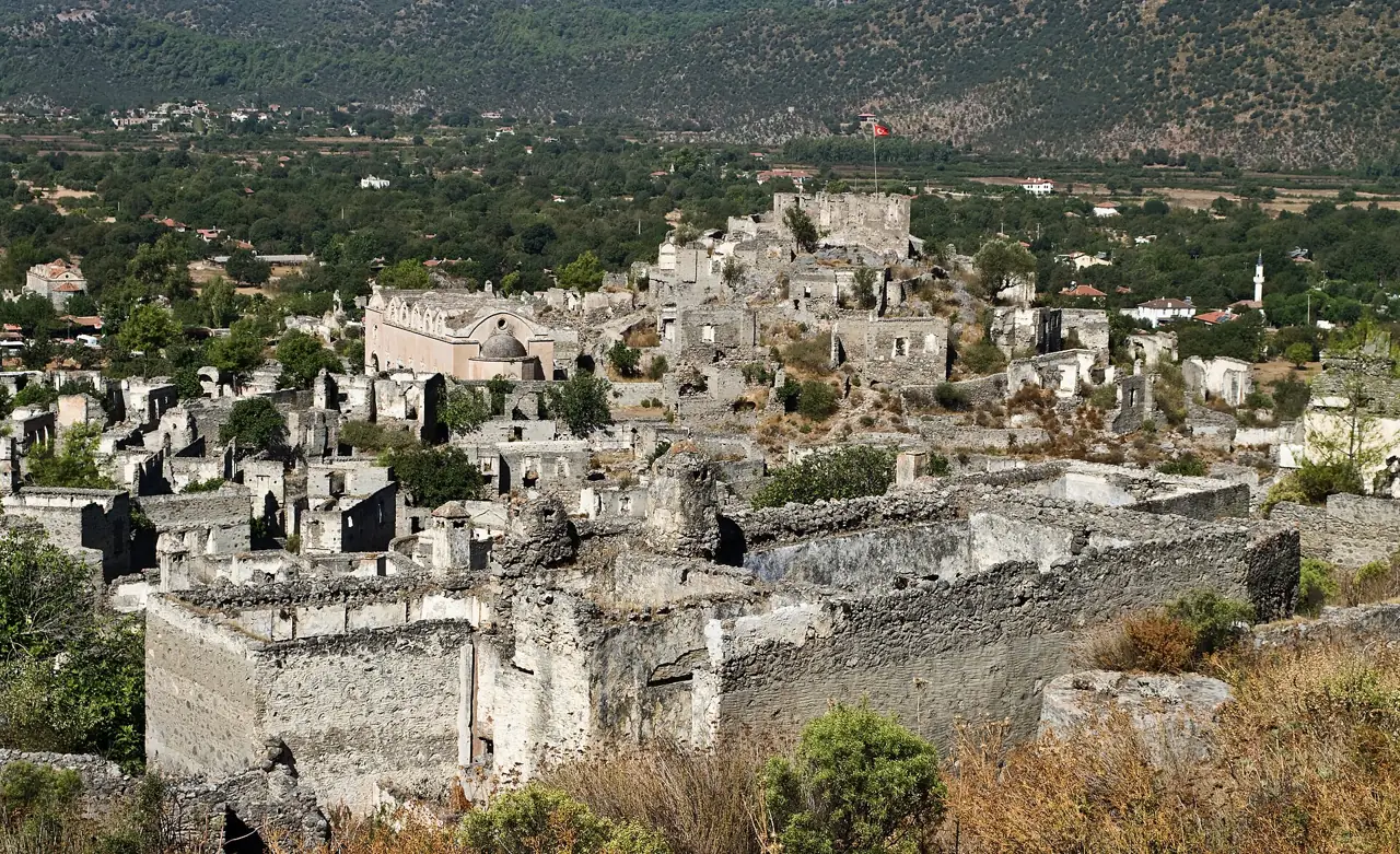
A popular marked path near the start of the trail runs from the abandoned stone village of Kayaköy over a pine-covered ridge and down to the beach at Ölüdeniz, about 2 hours at an easy pace. Go in the morning, take time to explore the empty houses and chapels first, and finish with a swim. Buses run back to Fethiye via Hisarönü.
Kalkan and Patara
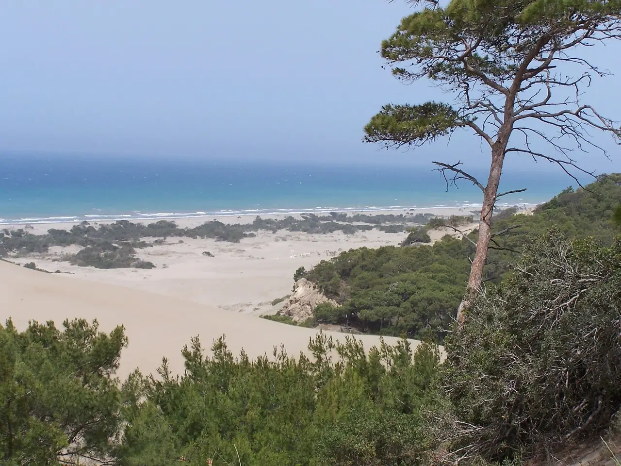
Between Kalkan and Patara the trail crosses farmland and rocky coast with very little shade. The reward is Patara: a large ancient city half buried in sand, with a theatre and assembly hall, and one of the longest beaches in Turkey behind the dunes. Walk in the cool part of the day and keep the swim for the end.
Around Kaş
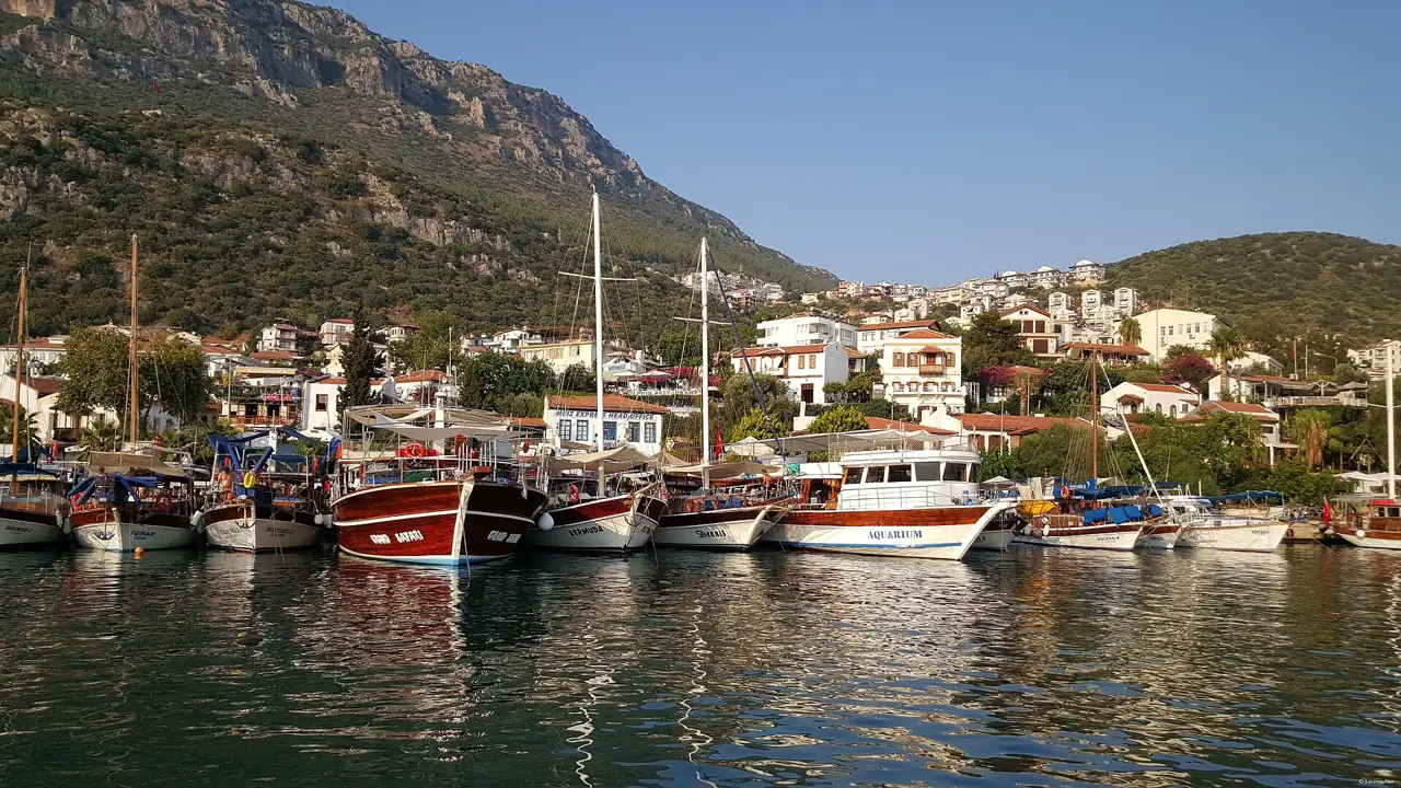
The trail runs through Kaş itself, and short sections along the coast lead to quiet coves and Lycian rock tombs. In town, the ancient theatre above the sea makes an easy evening stroll at sunset. Kaş is a comfortable base: plenty of places to eat, boats to Kekova and buses along the coast.
Üçağız to Kaleköy (Kekova)
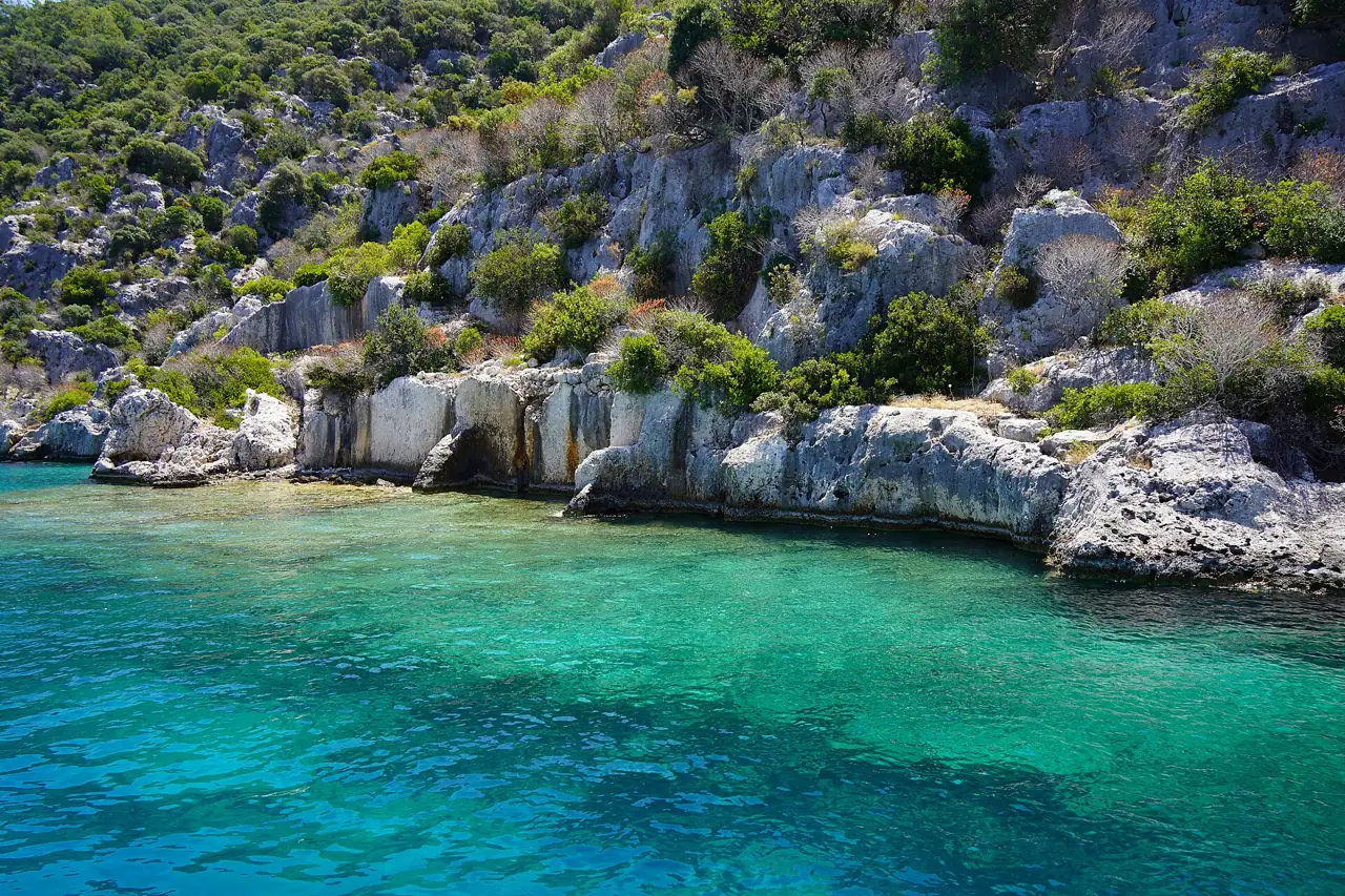
From the small harbour village of Üçağız a path leads past Lycian sarcophagi to Kaleköy (Simena), where a castle looks over the islands and bays of Kekova. It is a short walk, and boats can take you back. The sunken city ruins along Kekova island are seen from a boat; swimming over them is not allowed.
Olympos, Çıralı and the Chimaera
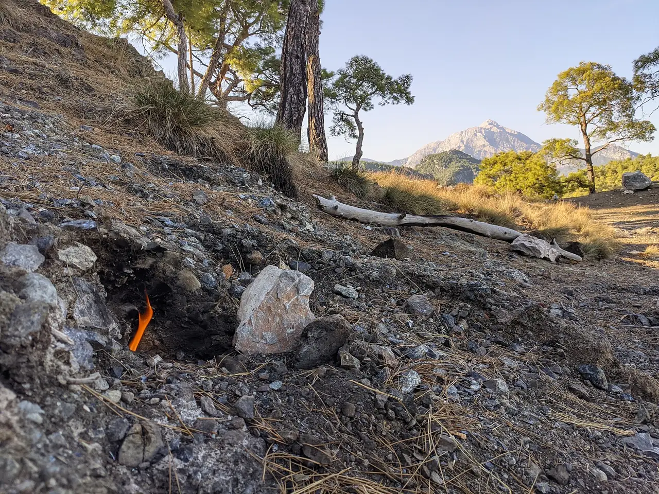
Walk along the beach from Çıralı to the overgrown ruins of Olympos in their green valley. In the evening, a stone path climbs from the edge of Çıralı to the Chimaera (Yanartaş), small flames of natural gas that have burned from the rock since antiquity; it takes about half an hour up, best at dusk, with a torch for the way down. The section from Adrasan over the cape to Olympos is longer and much harder, for experienced walkers only.
Tekirova and Phaselis
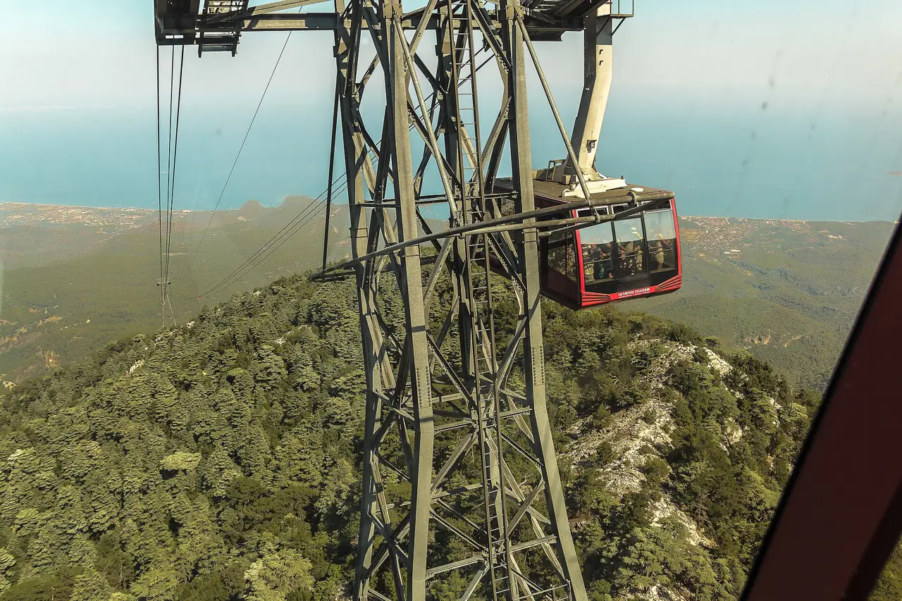
Phaselis is an ancient harbour city among pines, with three small bays to swim in and a colonnaded street. Short, easy forest paths lead there from Tekirova, while the Lycian Way itself climbs into the mountains behind, below the high peak of Tahtalı. A gentle first walk, good with children; more ideas under day trips.
Planning a multi-day trek
Direction and stages
Most people walk from west to east, starting near Ölüdeniz, but the trail is marked both ways. Daily stages are generally 15 to 25 km, and with the climbs that often means 5 to 8 hours on foot. Walking the whole route takes about a month, so most walkers choose a section of one or two weeks, for example Ölüdeniz to Kalkan or Kaş to Olympos.
Where to sleep and eat
Many villages on the route have small family pensions that serve dinner and breakfast, and a few have campsites. Some stretches have no village for a day, so you need to camp or arrange a pick-up. Village shops are small and not on every stage: carry food for at least a day. In some areas local services move your luggage between overnight stops.
Water
Water is the main planning point. There are springs, wells and old cisterns along the way, but some are dry by late spring and not every source is safe to drink untreated. Carry at least 2 to 3 litres, more on long or exposed stages, and refill whenever you can.
Getting there and back
Fly to Dalaman for the western sections and to Antalya for the eastern ones; see Dalaman Airport transfers and Antalya Airport transfers. The coast road links most trailheads, and dolmuş minibuses run between towns, so it is easy to walk one way and ride back. Details in getting around. No permit is needed for the trail; some ancient sites on the way charge an entry fee.
Safety and kit
Heat and sun
Heat is the biggest risk. Do not walk in the middle of the day in summer: from June to September start at dawn and stop by late morning, or choose another season. Wear a hat and sunscreen and cover your shoulders; much of the trail has no shade.
Shoes and kit
The paths are rocky and loose in places, so wear walking shoes or boots with a good grip and take poles if you use them. Pack water, snacks, a light layer, a small first-aid kit, a head torch and a power bank.
Phone and telling someone
Phone signal varies: good near towns, patchy or missing in valleys and on remote headlands. Download the route and maps for offline use, tell someone your plan and expected arrival, and turn back if the path becomes unclear. The emergency number in Turkey is 112.
No fires
The pine forests along the coast burn easily, especially from June to October. Do not light fires, do not throw away cigarettes and take all rubbish with you.
Frequently asked questions
How long is the Lycian Way?
About 500 km, a little more with variants, from Ölüdeniz near Fethiye to Geyikbayırı near Antalya. Walking all of it takes around a month; most people walk a section of one or two weeks or just a few day walks.
When is the best time to walk the Lycian Way?
Spring (March to May) and autumn (October and November). Summer is too hot for most sections, and winter brings rain and sometimes snow in the hills. See the weather by month.
Which section is easiest for beginners?
Short day walks such as Kayaköy to Ölüdeniz (about 2 hours), Üçağız to Kaleköy at Kekova, Tekirova to Phaselis, or the evening walk up to the Chimaera at Çıralı. For a first multi-day trip, choose stages with villages and pensions every night.
Is it safe to walk the Lycian Way alone?
Many people walk it alone, and villagers are generally friendly to walkers. The main risks are heat, lack of water, falls and losing the path, not crime. Tell someone your route, carry enough water and an offline map, and consider company on remote, steep stages.
Do I need a guide for the Lycian Way?
No. The trail is waymarked and no permit is needed; with a GPX track or the guidebook most walkers manage on their own. A guided or self-guided package with luggage transfers can make sense if you want everything arranged.